
The Cohutta-Chattahoochee Scenic Byway is a short story of land and forest that unfolds step by step. The total length is approximately 54.7 miles, including branches to the Cohutta Fishery Center and the Holly Creek recreation area. The route is organic, starting at Prater’s Mill, then following through valleys and pastures, then into the mountains, culminating in a view from the top of Fort Mountain. And all of this can be enjoyed as a leisurely walk, feeling every bend in the road and every turn in the landscape.
Route guide: every turn is the beginning of a story
Traveling along the Cohutta-Chattahoochee Scenic Byway is not like mechanically following a map. This road seems to have been created for drivers and travelers to slow down and experience the area. There is no main “beginning” or strict “end.” The route breathes like a living line, winding its way through fields, forests, and mountain serpentines. Each section has its own character: somewhere it is a gentle entrance into a rural valley, somewhere it is the rustle of pine trees at the foot of the mountains, and somewhere it is the wide breath of mountain air. To travel it properly, you need to perceive each section as a separate story, written into the general diary of the road.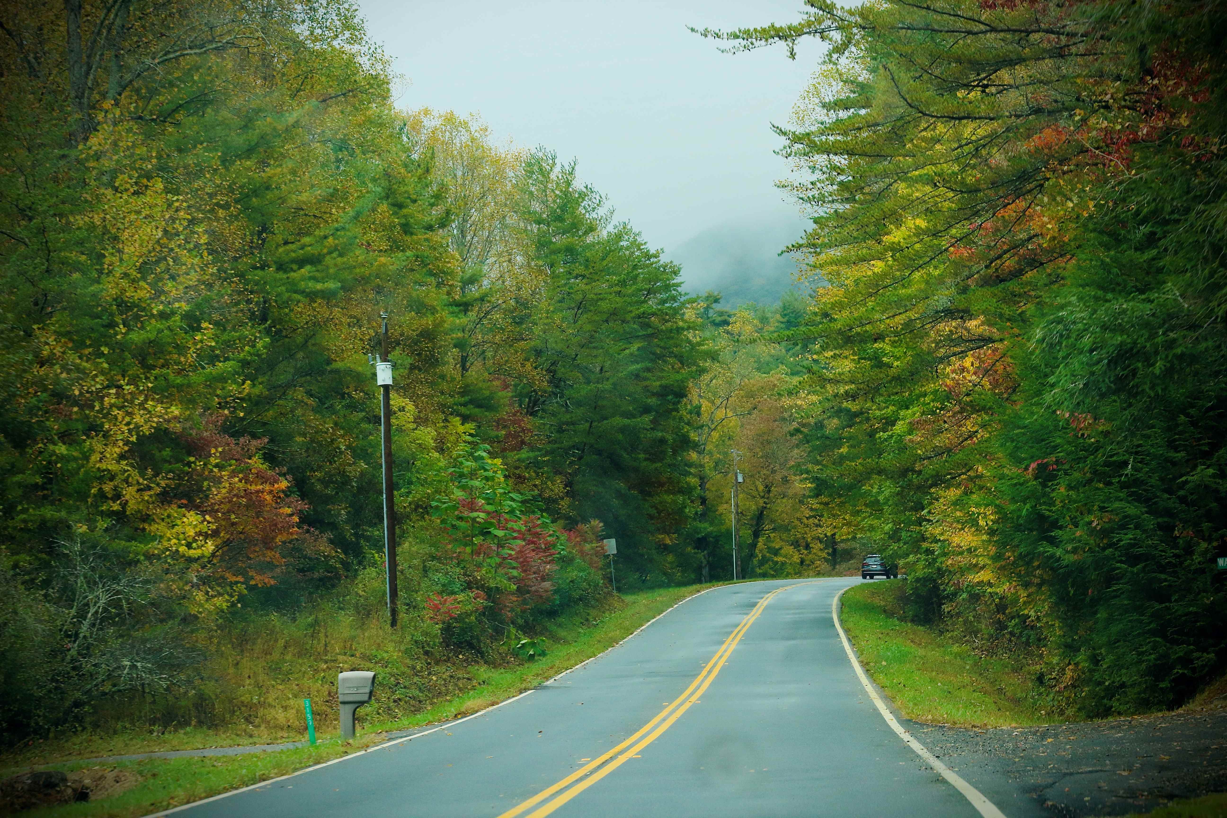
From Interstate 75 to Prater’s Mill
Start at exit 341 on I-75, then head north on Highway 201 and east on GA Hwy 2. After about seven miles, you will arrive at Prater’s Mill. This stretch invites you to leave the stress of the highway behind and enjoy the aroma of a new route.
From Prater’s Mill to Cohutta Fishery
From the mill, you can turn onto a branch road leading to the Cohutta Fishery Center. The route follows the memory of the area: Hwy 2 → Crow Rd → McGaughey Chapel Rd → Cohutta-Beaverdale Rd → Hopewell-Stancil Rd → Wilson Caldwell Rd → Red Clay Rd → Cohutta Fishery Center. This branch is woven from fields and country roads and ends at a water station where ecosystems are studied and valuable fish species are bred.
Main route from Prater’s Mill to Fort Mountain Overlook
Returning to GA Hwy 2, the route gradually heads east → along Cisco and Hwy 411 → turn onto Summerour Rd → Crandall-Ellijay Rd → Old CCC Camp Rd → then Holly Creek / Cool Springs Rd → Hwy 52 → to Fort Mountain Scenic Overlook. This section is like following a thread: valleys give way to forests, forests give way to mountainous terrain, and every turn reveals new views.
The spur from Fort Mountain to Ellijay – a quiet conclusion
After the stunning Overlook at Fort Mountain, if you don’t fly back, you can continue west on Hwy 52, descend through Ellijay and continue on Hwy 515 — all the way to I-575 and back to I-75. It feels like returning from a field where you discovered something more than just a point on the map.
The route – long and back
If you’re starting from Ellijay or Prescott instead of I-75, you can simply start at Fort Mountain Overlook. Head west on Hwy 52 → Holly Creek / Cool Springs Rd → Old CCC Camp Rd → Crandall-Ellijay Rd → Summerour Rd → Hwy 2 → Cisco → Hwy 411 → Prater’s Mill → then onto I-75 or the turnoff to Cohutta Fishery. Every turn has meaning and a word in the dialogue of this route.
Symmetry of route lines
The meaning of the route is not limited to dry geography. If you move from Prater’s Mill to Fort Mountain, you feel the ascent – the gradual opening of horizons, slopes, serpentine loops, and the dense canopy of the forest, which seems to cover and reveal the view of North Georgia. The return journey does not mirror this picture; it puts it together differently. Descending from the mountains, you notice details that were lost on the way up: the curves of streams, the lines of fields, the shadows of old buildings by the road.
This is where the symmetry of the route manifests itself – not in exact repetition, but in rediscovery. The road becomes a text that can be read in both directions, and each time the phrases will sound different. The return to Prater’s Mill becomes a new point of reflection. The water in the river flows as before, the white walls of the mill seem eternal, but the traveler’s impression is different.
Configuration of distances and branches
The route, with a total length of 54.7 miles, is a system of branches that give it a multi-layered structure. The main route connects key points in the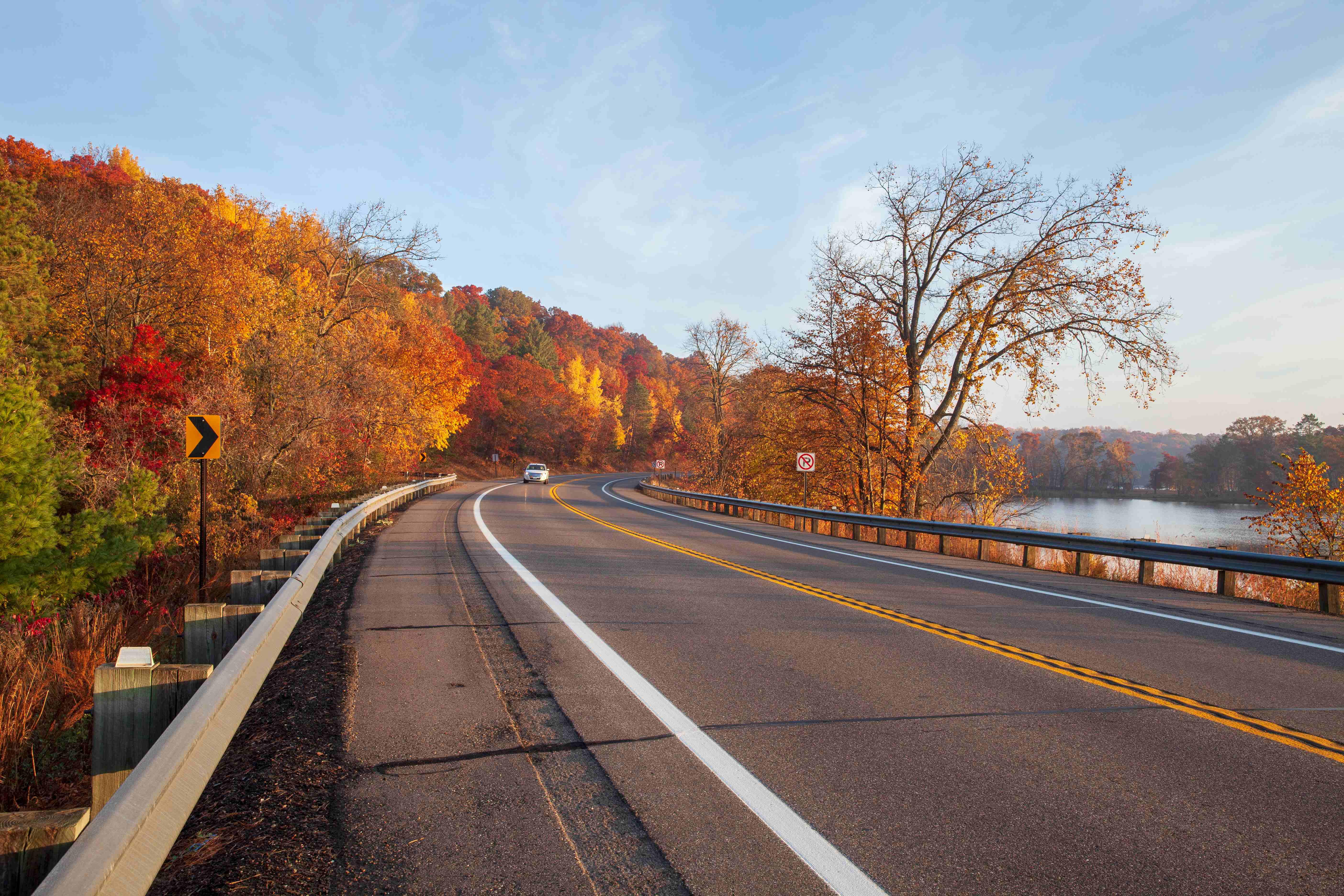 region, but two additional branches make it lively, like a branching tree.
The first, short one is 3 miles to Holly Creek. There, the road leads into the forest’s heart, where the rustling leaves quiet the cacophony of the city, and the creek’s water moves at a leisurely pace, as if time is unhurried. For lots of drivers, this slight deviation from the path acts as a pause along their journey – a chance to escape the frenzy of cars and slip away into stillness, if only for a little while.
The second is 11 miles to the Cohutta Fishery Center. Here, nature connects with human care. The fishery center operates as an educational and conservation space, and the road to it offers views of fields, farms, and rolling hills. This “whirlwind” of a route complements the main journey, creating a dialogue between culture and nature.
Together, the main road and its branches form a multifaceted route, where each line has its own mood. The main road gives a general impression, while the branches allow you to look deeper – into the water, into the forest, into the quiet rural landscapes.
Conclusion
The Cohutta-Chattahoochee Scenic Byway is a journey filled with meaning. It goes from the melody of the mill, through the breath of the forests, to the panorama of the mountains, and ends with a dialogue with oneself. There is no place for haste here. Every mile is a reason to stop, breathe, and listen.
Comments are closed